3D laser scanning · LiDAR SLAM · photogrammetry
Reality.
Measured in 3D.
With LiDAR SLAM and terrestrial laser scanners, aerial and underwater drones we turn buildings, terrain and coastline into precise point clouds, 3D models and drawings – signed off by a licensed surveying engineer.
Throughout Croatia
On land, from the air
and under the sea.
One team, one delivery: scans, aerial imagery and underwater data in a single coordinate system.
What we do
From real space to a digital twin.
Within hours we capture millions of measured points – interiors, façades, staircases, roofs, terrain, coastline and seabed – and deliver data that architects, engineers and owners can use straight away.
360°
terrestrial scanner field of view
300 m
laser scanner range
150 m
maximum working depth of our underwater drone
4K
aerial and underwater video
One partner. Land, air and sea.
01 · LiDAR SLAM
A building as a point cloud
The mobile scanner uses a SLAM algorithm to track its own position as we move through the space while measuring everything around it. The result is a complete, georeferenced point cloud – no scaffolding, no days of tape measuring.
02 · Photogrammetry
Terrain from the air
Our drone captures hundreds of overlapping photos that become an orthophoto, a digital terrain model and a textured 3D model – for plots, construction sites, campsites and coastline.
03 · Under water
Underwater photogrammetry
We document the seabed, pier foundations, breakwaters and submerged structures. From underwater imagery we build measurable 3D models – where conventional surveying cannot reach.
04 · Surveying & cadastre
From measurement to registration
Survey reports, subdivisions, setting-out and property consulting – everything needed to align the situation on site with the cadastre and the land registry.
Services
Everything a space needs.
Core service
LiDAR SLAM scanning
We scan on the move: as-built buildings, interiors and terrain as point clouds, 3D models and 2D drawings.
3D laser scanner
Millimetre-level detail from tripod stations – façades, heritage and engineering structures.
Drone survey & aerial filming
Orthophotos, terrain models, volumes and aerial photo and video.
Underwater survey & filming
Underwater photogrammetry, ROV inspection and underwater photo and video.
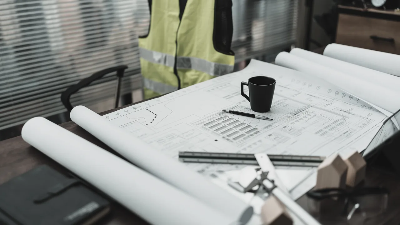
Service
Property & land registry consulting
Aligning cadastre and land registry, legalisation, subdivision for sale or inheritance, expert survey documentation for courts and notaries.
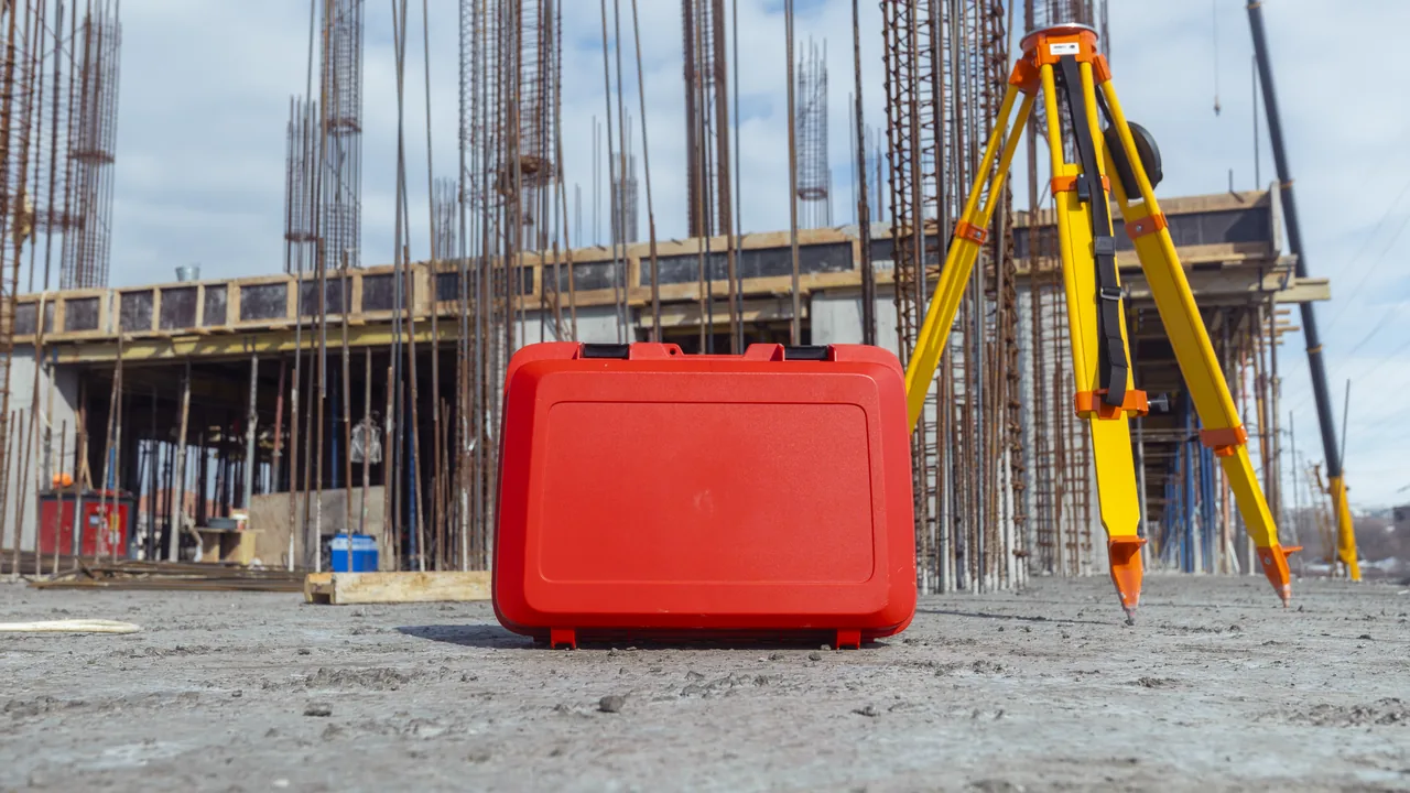
Photogrammetry & land surveying
Textured 3D models and orthophotos, survey reports, setting-out, topographic base maps and submission via SDGE.
Every point measured.
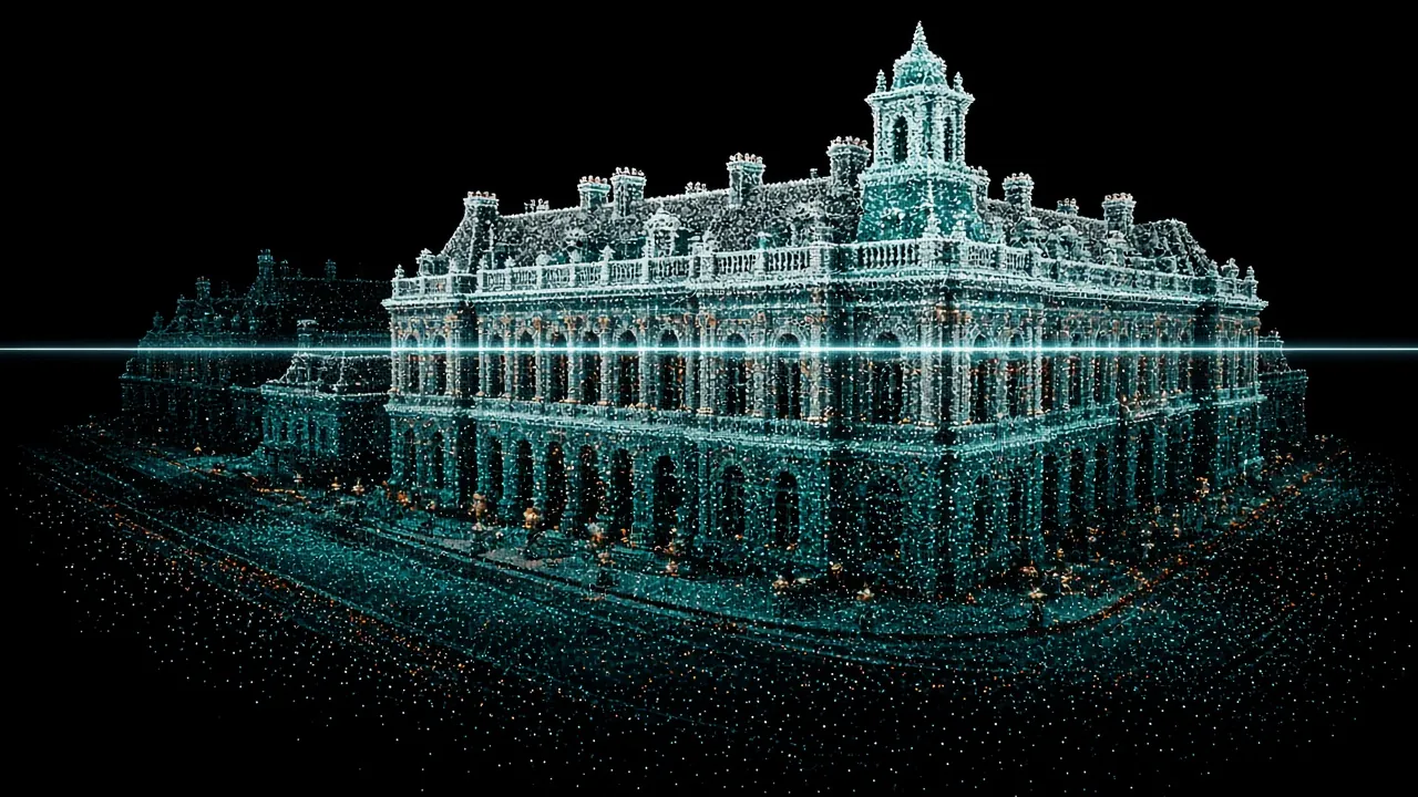 Illustration
Equipment
The tools we use to measure reality.
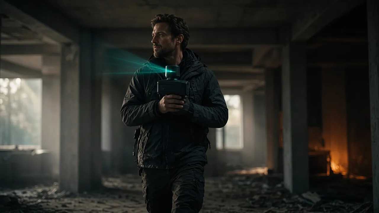
GreenValley International
Handheld LiDAR SLAM scanners
Mobile scanning on the move – interiors, staircases, attics, façades and terrain. Coloured point clouds from integrated panoramic cameras.
Learn more →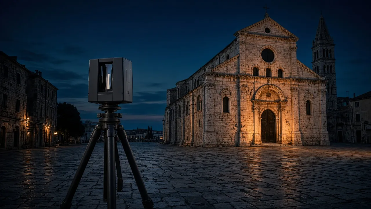
Stonex X300
Terrestrial 3D laser scanner
Scanning from tripod stations: 360° × 90° field of view, range up to 300 m. For façades, heritage, halls and engineering structures.
Learn more →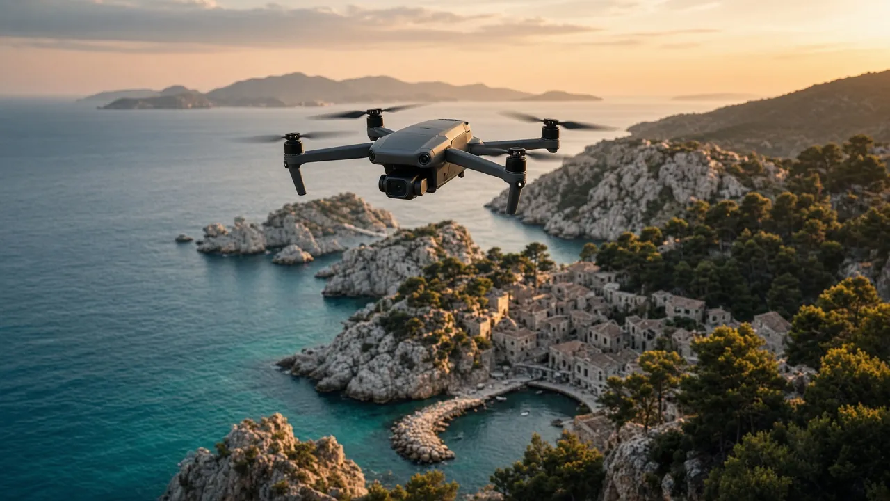
DJI
Drones for surveying and filming
Planned photogrammetry flights for orthophotos, terrain and 3D models – plus aerial photo and video.
Learn more →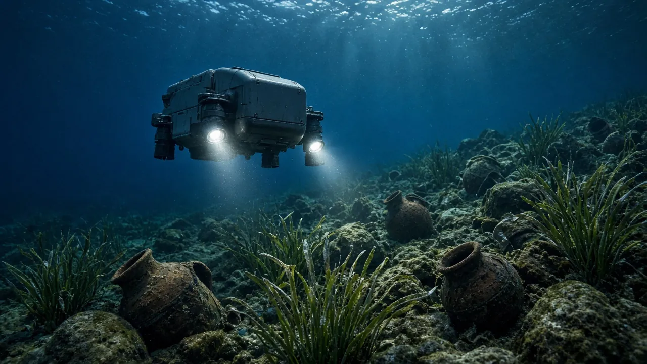
Chasing M2 Pro
Underwater drones (ROV)
Remotely operated vehicle with a 4K camera and lights, rated to 150 m depth – inspection, filming and documentation below the surface.
Learn more →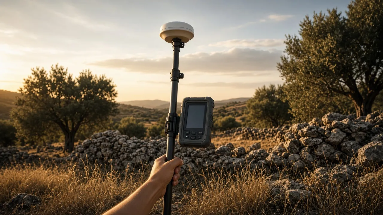
Leica
GNSS/GPS receivers
Centimetre-level RTK positioning for control points, setting-out, subdivisions and georeferencing scans in HTRS96/TM.
Learn more →Equipment images are illustrative.
Who we work for
Data you can rely on.
Architects & engineers
Accurate as-built data as the basis for design, renovation or a BIM model.
Property owners
Local and foreign owners who need a survey, a land registry entry or expert advice.
Developers & contractors
Site surveys, progress monitoring, volumes and setting-out on site.
We work throughout Croatia – on land, from the air and under water.
Got a space that needs measuring?
Send us the location and a short description – we will tell you what is needed, which method suits best and when we can be on site.