
Service · consulting
Property & land registry
consulting.
When the cadastre, the land registry and the situation on site do not match, we help you understand it, choose the best route and see it through – from the first document review to registration.
When to call us
Your property in order, from site to registry.
Aligning cadastre and land registry
Analysis of mismatched areas, shapes and entries, and the survey that brings them into line.
Support in ownership & boundary disputes
Determining and marking boundaries, comparing with cadastral maps and historical records.
Expert documentation for courts & notaries
Survey sketches, reports and as-is plans as technical evidence in proceedings.
Legalisation of buildings
Survey reports for legalising and registering buildings in the cadastre and land registry.
Subdivision for sale or inheritance
Splitting and merging plots, dissolving co-ownership, surveys for probate.
Pre-purchase check
Comparing the site with the cadastre and land registry before you buy – also for foreign buyers.
How we work
Clear steps, no surprises.
- Review – cadastre and land registry extracts, spatial plans and existing documents.
- Field work – measurement with a Leica GNSS receiver, plus scanning and drone imagery where useful.
- Proposal – options, required steps, costs and timelines explained.
- Delivery – survey report, submission via SDGE and follow-up until registration.

Note: this is technical, surveying-based consulting and expert documentation. We do not provide legal representation – where needed, we work alongside your lawyer or notary.
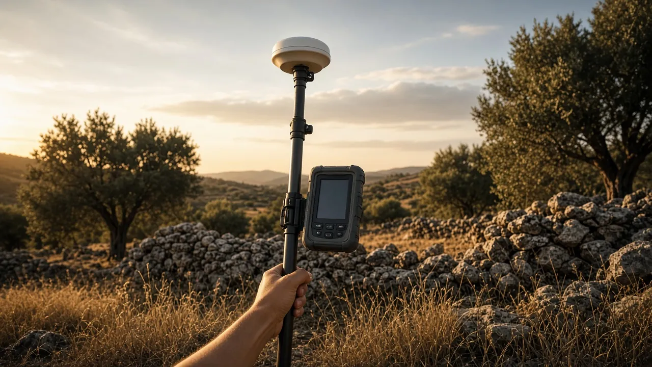
Leica
GNSS/GPS receivers
Centimetre-level RTK positioning for control points, setting-out, subdivisions and georeferencing scans in HTRS96/TM.
Equipment images are illustrative.
Got a space that needs measuring?
Send us the location and a short description – we will tell you what is needed, which method suits best and when we can be on site.