About
Precision is our signature.
GEOSIGNUM d.o.o. is a Zagreb-based surveying company specialising in 3D laser scanning, photogrammetry and surveying services on land, from the air and under water.
Tomorrow’s technology, professional accountability.
The company is led by a licensed surveying engineer. We combine modern methods of spatial data capture – mobile LiDAR SLAM scanning, photogrammetry, drones and underwater imaging – with expert knowledge of the cadastre, the land registry and procedures before the authorities.
We work throughout Croatia, with architects, engineers, developers and local and foreign property owners.
How we work.
Accountability
Every survey report is signed by a licensed surveying engineer.
Clarity
We explain the steps, required documents and timelines up front.
Technology
LiDAR SLAM, photogrammetry, drones and underwater equipment for faster, more complete data.
Equipment
The tools we use to measure reality.
GreenValley International
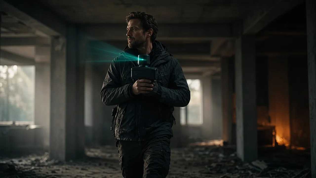
Handheld LiDAR SLAM scanners
Mobile scanning on the move – interiors, staircases, attics, façades and terrain. Coloured point clouds from integrated panoramic cameras.
Learn more →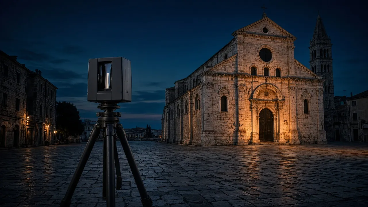
Stonex X300
Terrestrial 3D laser scanner
Scanning from tripod stations: 360° × 90° field of view, range up to 300 m. For façades, heritage, halls and engineering structures.
Learn more →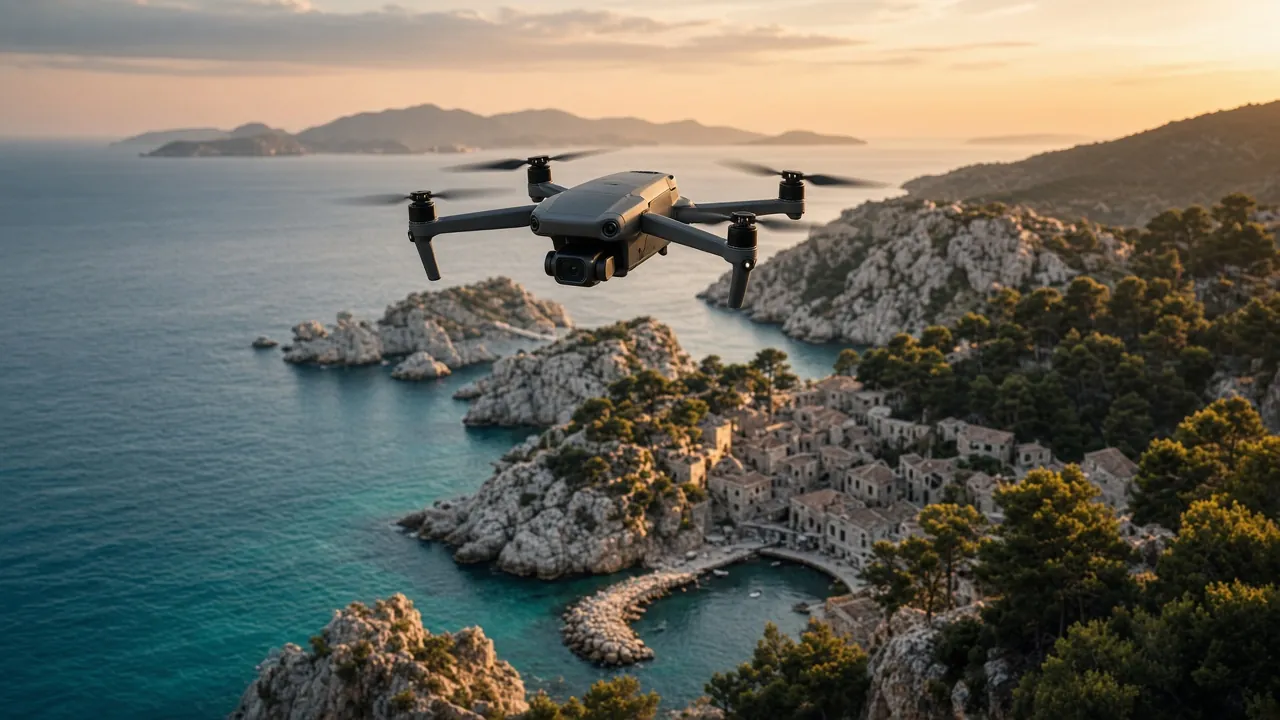
DJI
Drones for surveying and filming
Planned photogrammetry flights for orthophotos, terrain and 3D models – plus aerial photo and video.
Learn more →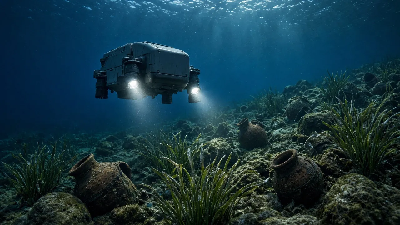
Chasing M2 Pro
Underwater drones (ROV)
Remotely operated vehicle with a 4K camera and lights, rated to 150 m depth – inspection, filming and documentation below the surface.
Learn more →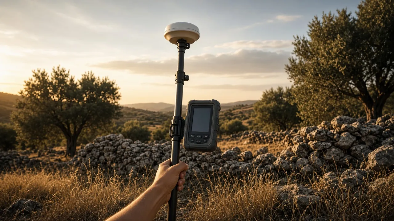
Leica
GNSS/GPS receivers
Centimetre-level RTK positioning for control points, setting-out, subdivisions and georeferencing scans in HTRS96/TM.
Learn more →Equipment images are illustrative.
Company details
- GEOSIGNUM d.o.o.
- Registered office: Lastovska 2a, 10000 Zagreb, Croatia
- OIB: 21355058539
- +385 91 114 4221 · geosignum@gmail.com
Got a space that needs measuring?
Send us the location and a short description – we will tell you what is needed, which method suits best and when we can be on site.