Core service · LiDAR SLAM
We scan
as we walk.
With a handheld LiDAR SLAM scanner we capture as-built buildings, interiors, façades and terrain – fast, complete and georeferenced.
How it works
We walk. The scanner measures.
SLAM (Simultaneous Localization and Mapping) means the device builds a map of the space while determining its own position within it. That is why we can scan on the move – through rooms, corridors, staircases, attics, gardens and streets – without setting up a station every few metres. Using control points measured with surveying instruments, we place the point cloud in the official Croatian coordinate system (HTRS96/TM).
On site
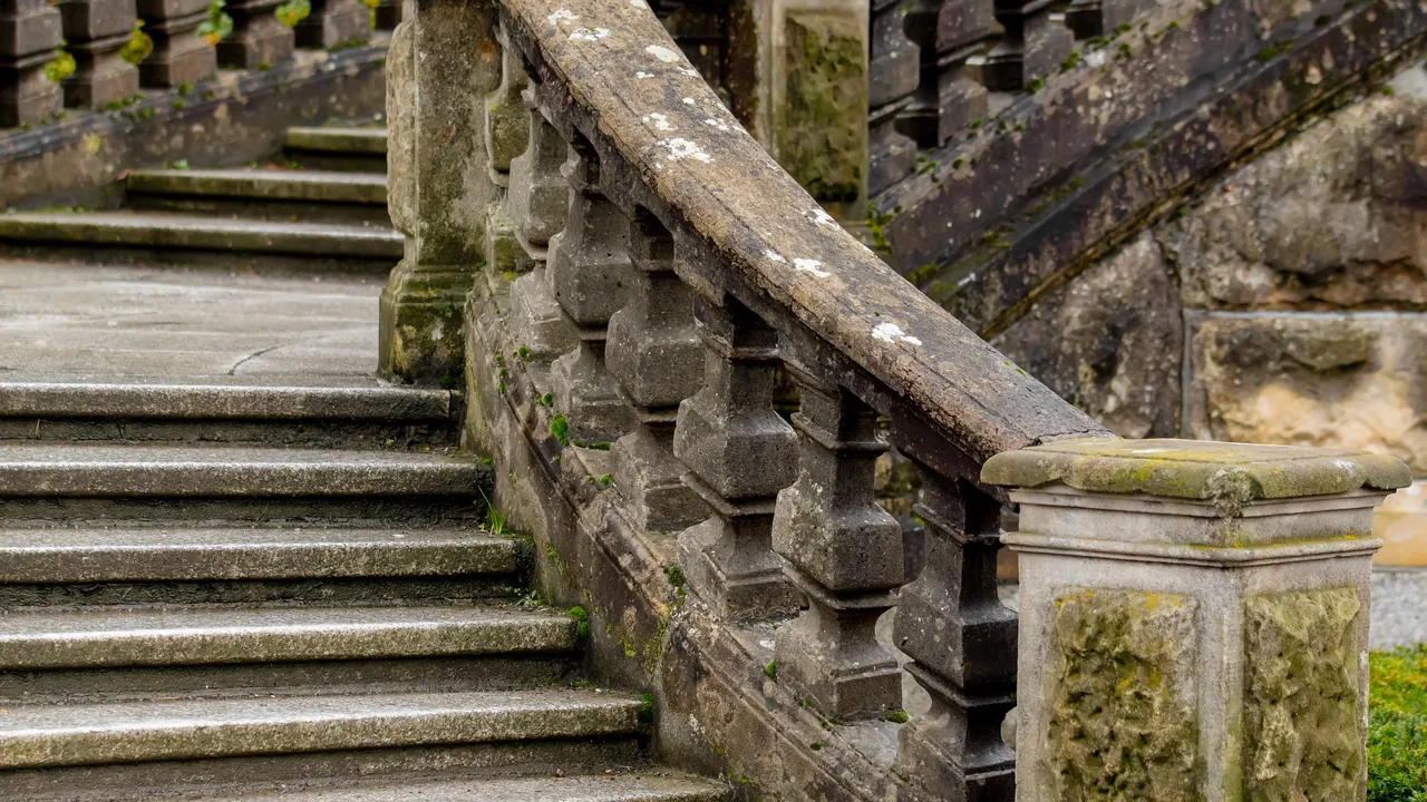
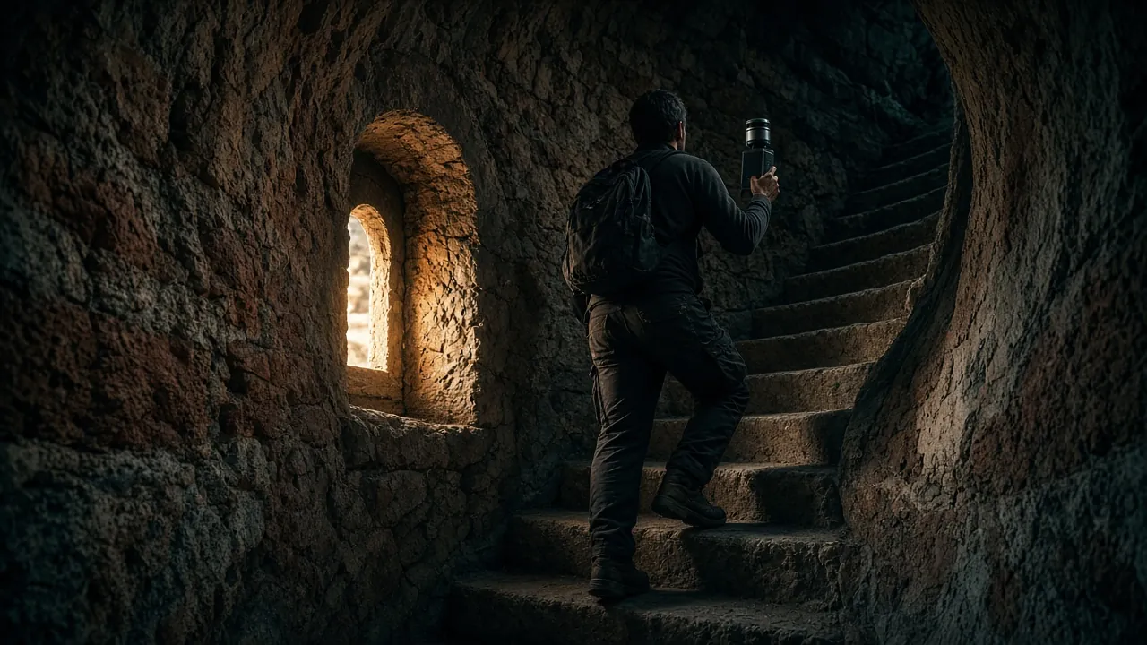
Staircases, attics, tight spaces.
The handheld scanner goes where a tripod barely fits. Panoramic cameras record colour at the same time, so you get a coloured point cloud and a visual record – without a second site visit.
What you get
Data ready to use.
Point cloud
Coloured, georeferenced point cloud in common formats (e.g. E57, LAS/LAZ) for CAD, BIM and GIS.
2D drawings
As-built floor plans, sections and elevations in DWG/DXF.
3D model
Mesh and textured models for visualisation and design.
BIM-ready
Point cloud ready for modelling in tools such as Revit or ArchiCAD.
Terrain & volumes
Digital terrain model, contour lines, profiles and volume calculations.
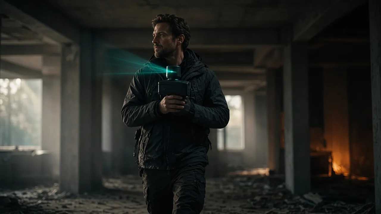
GreenValley International
Handheld LiDAR SLAM scanners
Mobile scanning on the move – interiors, staircases, attics, façades and terrain. Coloured point clouds from integrated panoramic cameras.
Equipment images are illustrative.
Where it is used.
Architecture & renovation
Accurate existing conditions before design – no surprises on site.
Cultural heritage
Contact-free documentation of historic buildings, churches and ruins.
Construction sites
As-built checks, progress monitoring and volume calculation.
Interiors & services
Rooms, ceilings and exposed services for refurbishment and fit-out.
Real estate
Exact areas and 3D views for sale, rental or valuation.
Terrain & environment
Slopes, vegetation, shoreline and paths – even under tree canopy.
Gallery
Illustration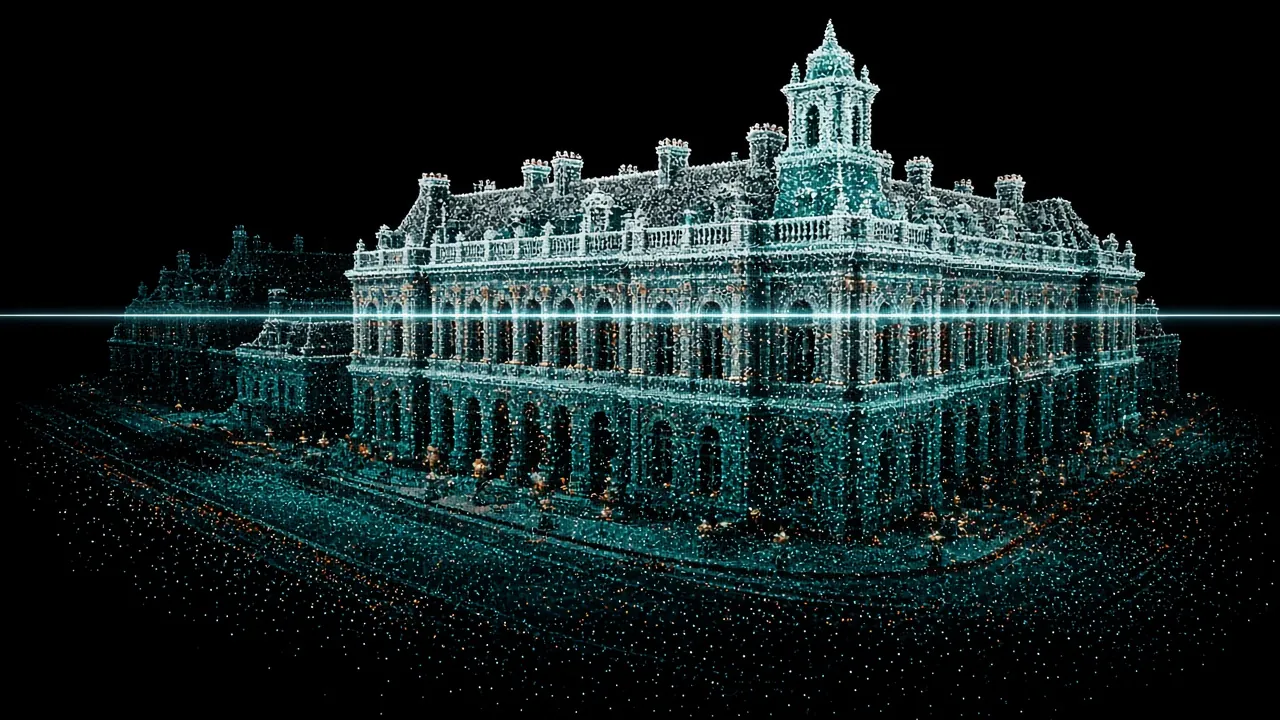 Illustration
 Illustration
Process
Four steps to 3D data.
1. Brief
We define the scope, level of detail and delivery formats.
2. Scanning
On-site scanning and measurement of control points.
3. Processing
Registration, georeferencing, cleaning and quality control.
4. Delivery
Point cloud, models and drawings in the agreed formats.
Got a space that needs measuring?
Send us the location and a short description – we will tell you what is needed, which method suits best and when we can be on site.