Under water
Below the surface.
Measured.
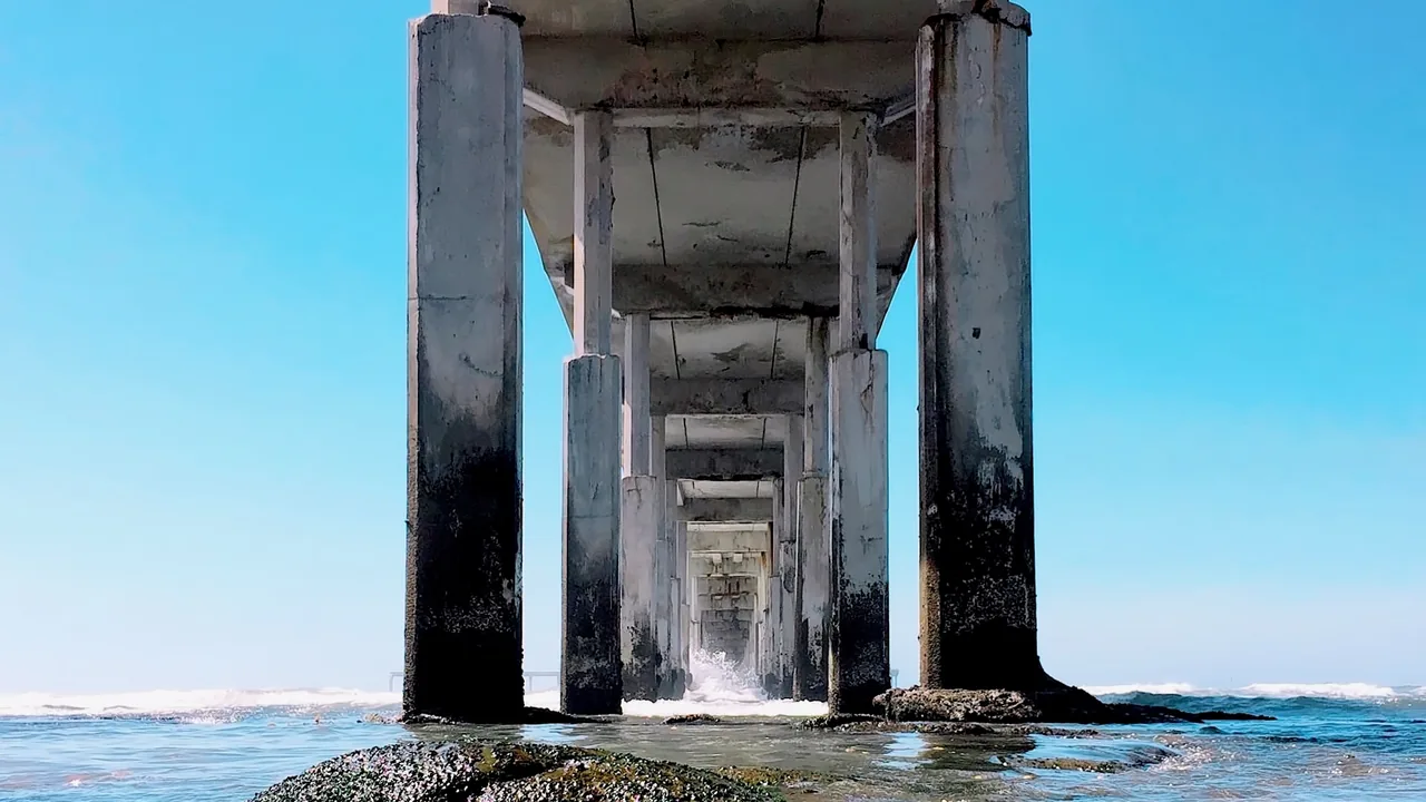
Underwater photogrammetry, inspection with a Chasing M2 Pro underwater drone, and underwater photo and video – for shorelines, piers, breakwaters and underwater heritage.
Underwater survey & photogrammetry
We measure below the sea, too.
Using underwater imaging and photogrammetry we document the seabed, quay walls, piers, breakwaters, foundations and submerged installations. From image series we build measurable 3D models tied to the survey on land – as a basis for coastal projects, structural condition checks or documenting underwater heritage.
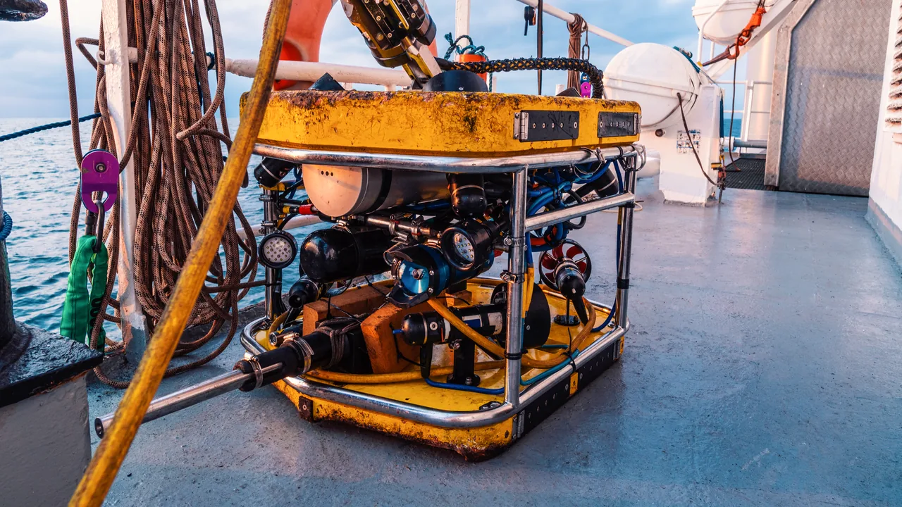
Underwater drone (ROV)
Eyes where a diver need not go.
With the remotely operated Chasing M2 Pro underwater drone, equipped with a 4K camera and powerful lights, we inspect and film submerged structures, outfalls, moorings and the seabed down to 150 m – quickly, safely and with real-time video.
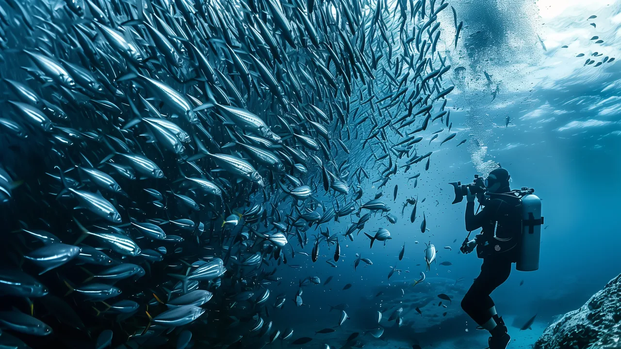
Underwater filming & photography
The world below the surface, in frame.
Underwater photo and video for condition documentation, scientific and tourism projects, and for presenting coastline, beaches and seabed.
What you get
The seabed, as data.
Underwater 3D model
Measurable model of seabed and structures tied to the land survey.
Condition survey
Video and photo records of damage, scour and marine growth.
Seabed orthomosaic
Seabed orthophoto for coastal projects.
Heritage
Documenting underwater sites and wrecks.
4K video
Footage for tourism, presentations and science projects.
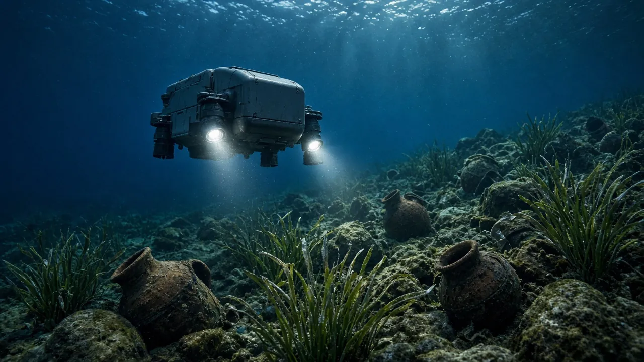
Chasing M2 Pro
Underwater drones (ROV)
Remotely operated vehicle with a 4K camera and lights, rated to 150 m depth – inspection, filming and documentation below the surface.
Equipment images are illustrative.
Gallery
Illustration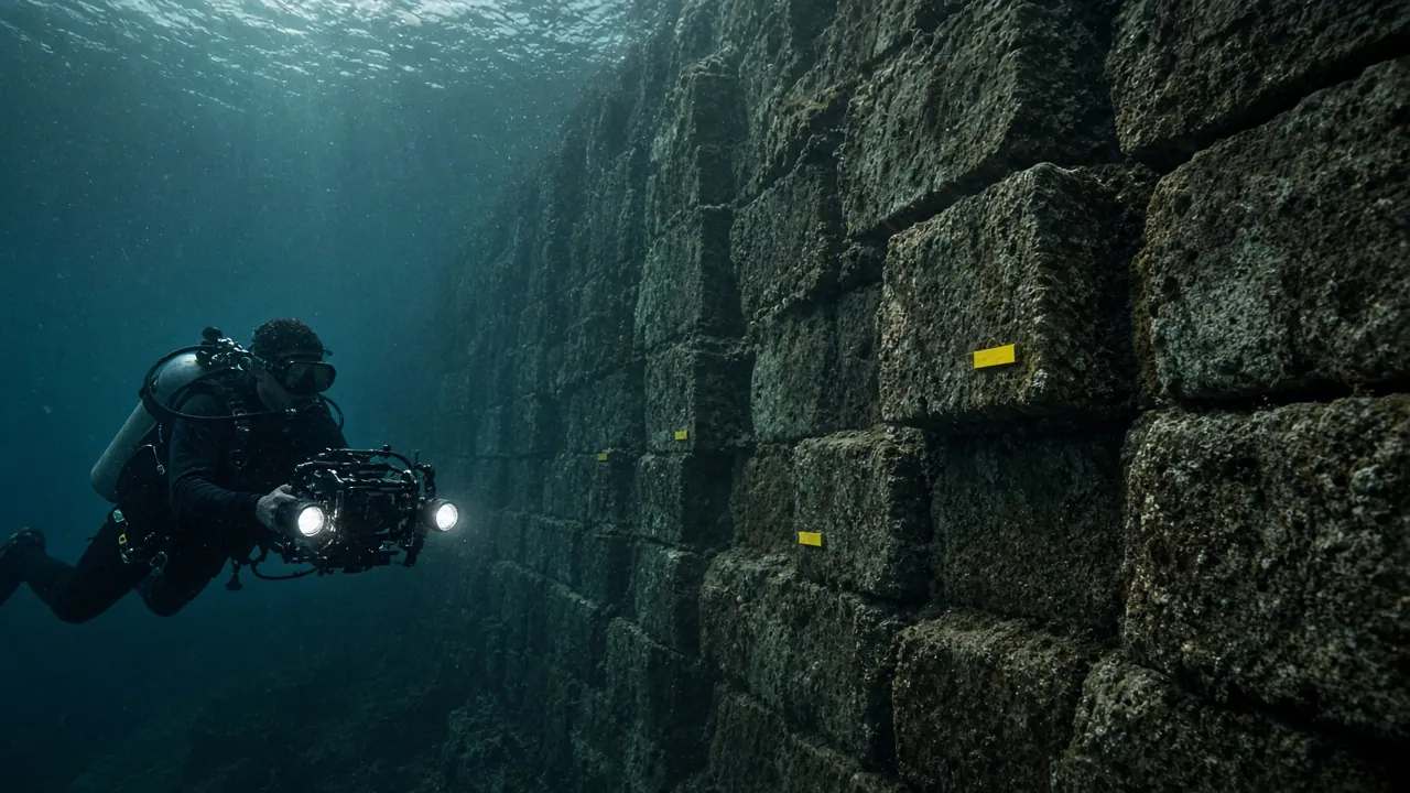 Illustration
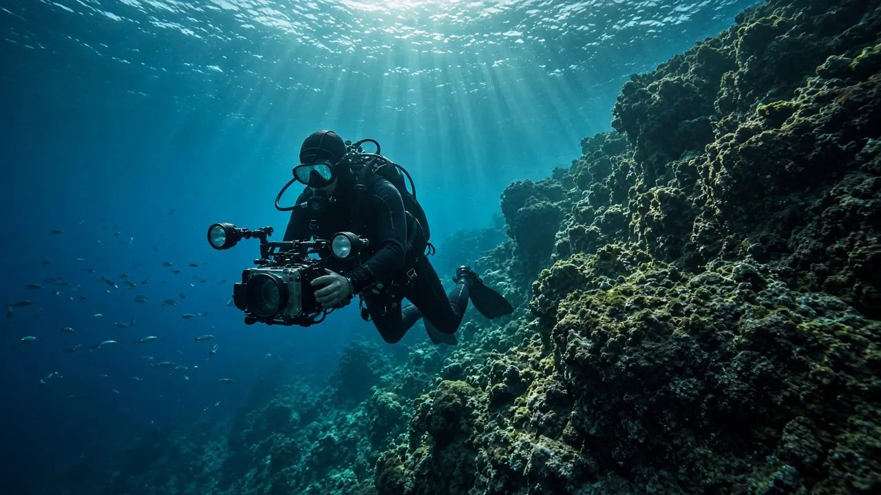 Illustration
Got a space that needs measuring?
Send us the location and a short description – we will tell you what is needed, which method suits best and when we can be on site.