Services
Services.
From scan to registry.
LiDAR SLAM and terrestrial laser scanning at the core – complemented by photogrammetry, drones, underwater surveying, property consulting and all classic surveying services – throughout Croatia.
01
LiDAR SLAM scanning
 Illustration
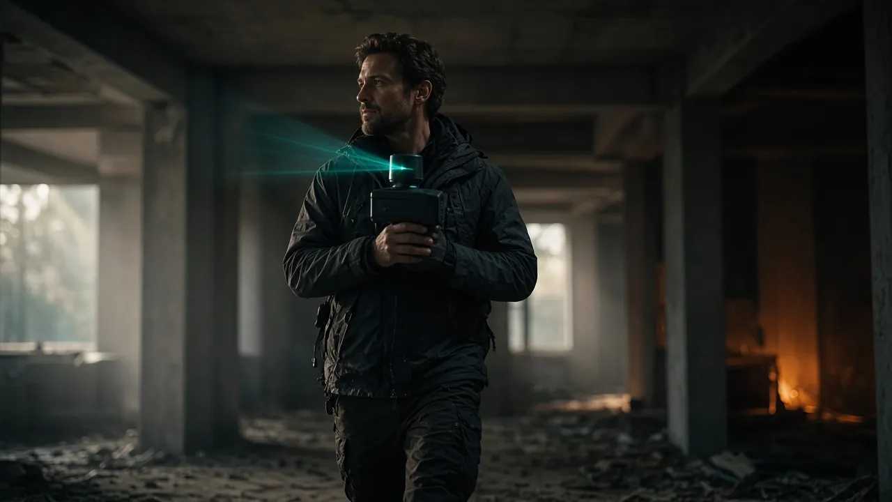
Our core service. With a mobile LiDAR SLAM scanner we capture as-built conditions of buildings, interiors, façades, terrain and infrastructure quickly and completely. Learn more →
- Georeferenced point cloud (E57, LAS/LAZ)
- Floor plans, sections and elevations (DWG/DXF)
- Basis for BIM modelling
- Area and volume calculations
02
3D laser scanning
 Illustration
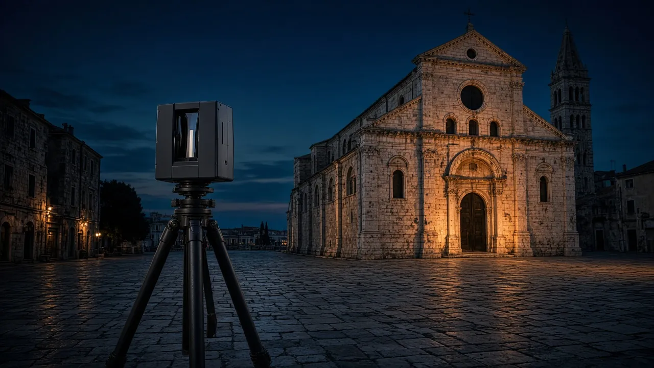
Terrestrial Stonex X300 laser scanner on a tripod for façades, heritage, halls and engineering structures – when geometric accuracy is decisive. Learn more →
- Registered point cloud (E57, LAS/LAZ)
- Elevations, sections and plans (DWG/DXF)
- 3D mesh and textured models
- Deformation and deviation checks
03
Photogrammetry
 Illustration
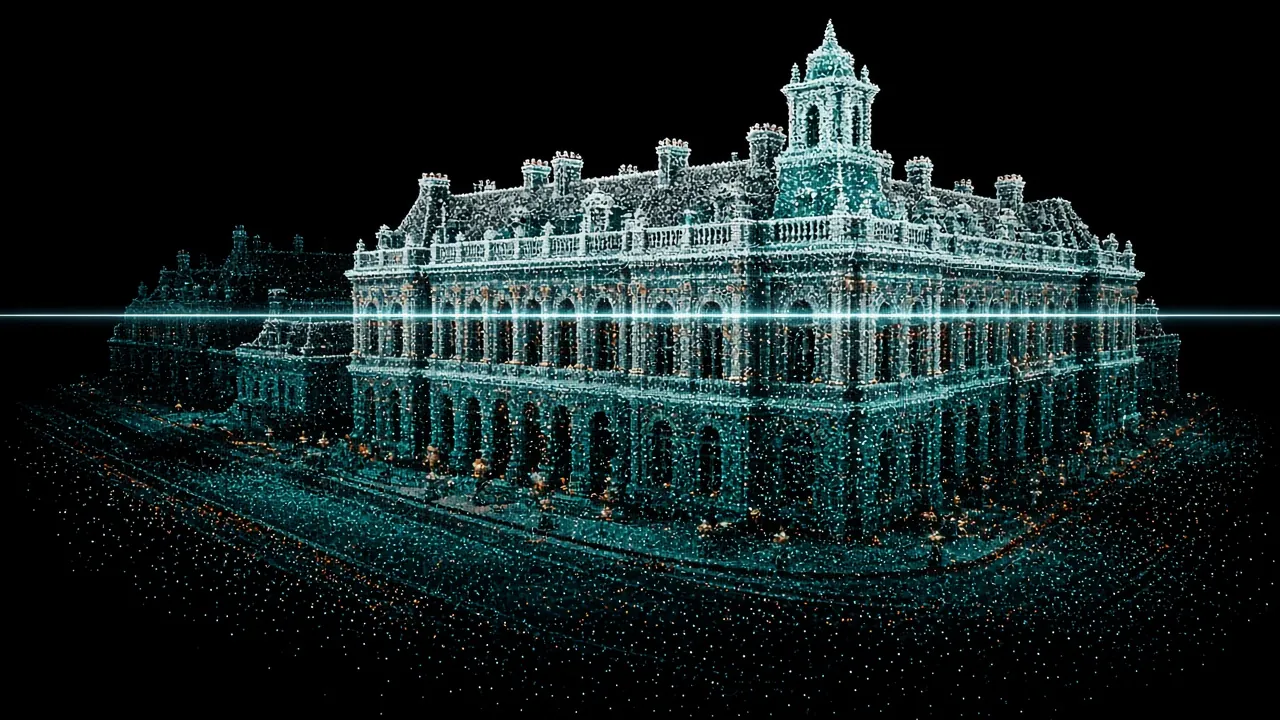
From image series – taken on the ground, from the air or under water – we produce measurable textured 3D models and orthophotos. Combined with LiDAR you get a coloured point cloud and a photorealistic view.
04
Drone survey & aerial filming
 Illustration
Aerial photogrammetry with DJI drones, orthophotos, terrain models, volumes and professional aerial photo and video. Learn more →
- Orthophoto, DTM/DSM and contour lines
- Aerial photo and video
05
Underwater survey & filming
 Illustration
Underwater photogrammetry, inspection with a Chasing M2 Pro underwater drone, and underwater photo and video. Learn more →
- Underwater 3D models of seabed and structures
- Underwater photo and video
06
Property & land registry consulting
 Illustration
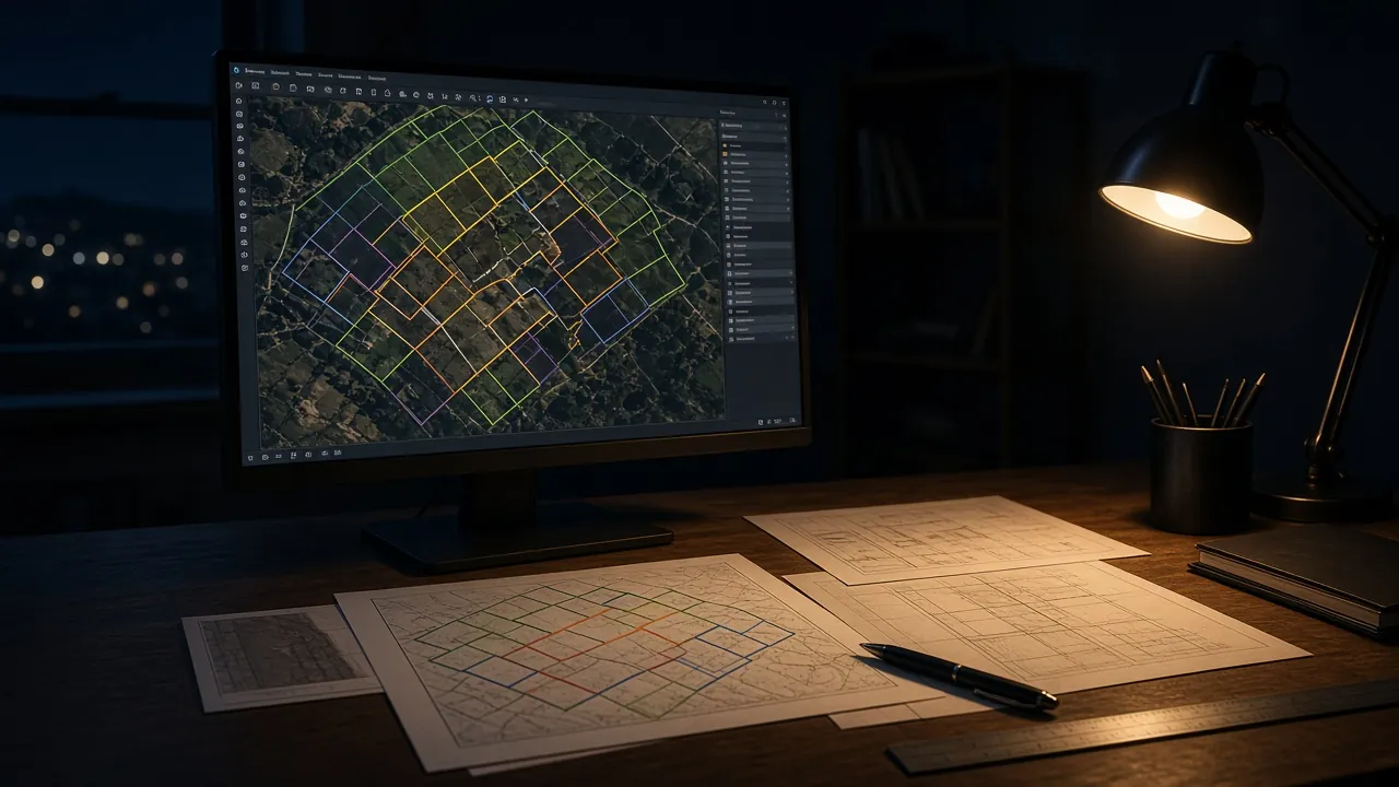
When the cadastre, the land registry and the situation on site do not match, we help you understand the situation and choose the best route – from the first document review to implementing the survey. Learn more →
- Mismatch between cadastre and land registry
- Legalisation of buildings
- Subdivision and merging of plots, dissolving co-ownership
- Regularising ownership and land registry entries
07
Land surveying services
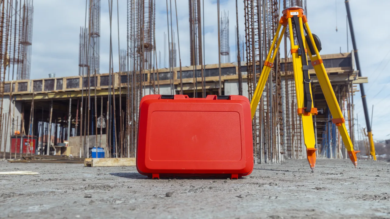
All classic surveying services, signed by a licensed surveying engineer, with electronic submission via the SDGE system.
- Survey reports for legalisation, building permits and registering buildings
- Entry in the cadastre and land registry
- Subdivision and partition surveys
- Setting-out of buildings and plot boundaries
- Certified topographic base maps for design
- Cadastre and land registry extracts
- Electronic submission via SDGE
Got a space that needs measuring?
Send us the location and a short description – we will tell you what is needed, which method suits best and when we can be on site.