Drone · from the air
The terrain.
From a bird’s-eye view.
DJI drone photogrammetry: planned flights, orthophotos, terrain models, 3D models and volumes – plus professional aerial photo and video.
Drone photogrammetry
Terrain, plots and buildings from above.
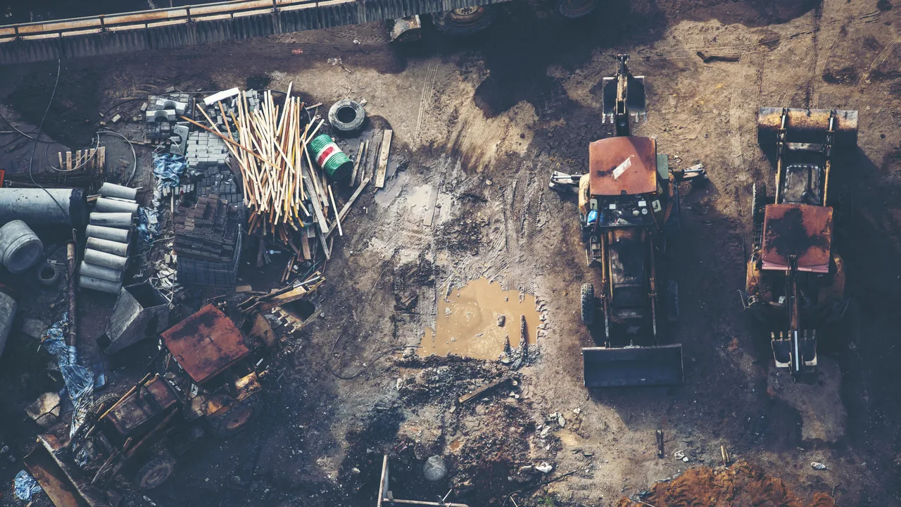
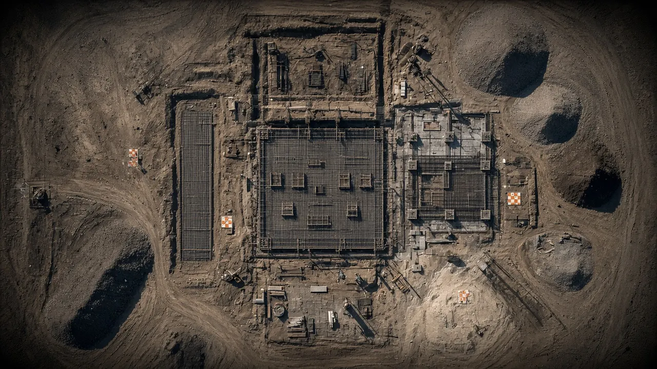
We fly DJI drones on planned missions with overlapping imagery and ground control points. We deliver orthophotos, digital terrain and surface models, contour lines, 3D models and volume calculations – for design, progress monitoring and documenting existing conditions.
What you get
Aerial data, ready to use.
Orthophoto
High-resolution georeferenced orthophoto (GeoTIFF) for design and cadastre.
DTM / DSM
Digital terrain and surface models, contour lines and profiles.
Volumes
Cut, fill and stockpile volumes.
3D model
Textured 3D model of a building or an entire area.
Progress monitoring
Periodic site captures for progress control.
Aerial filming & photography
Photo and video from a bird’s-eye view.
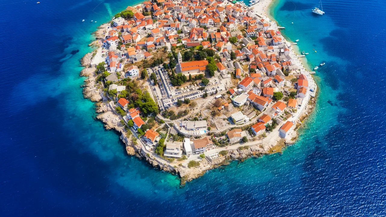
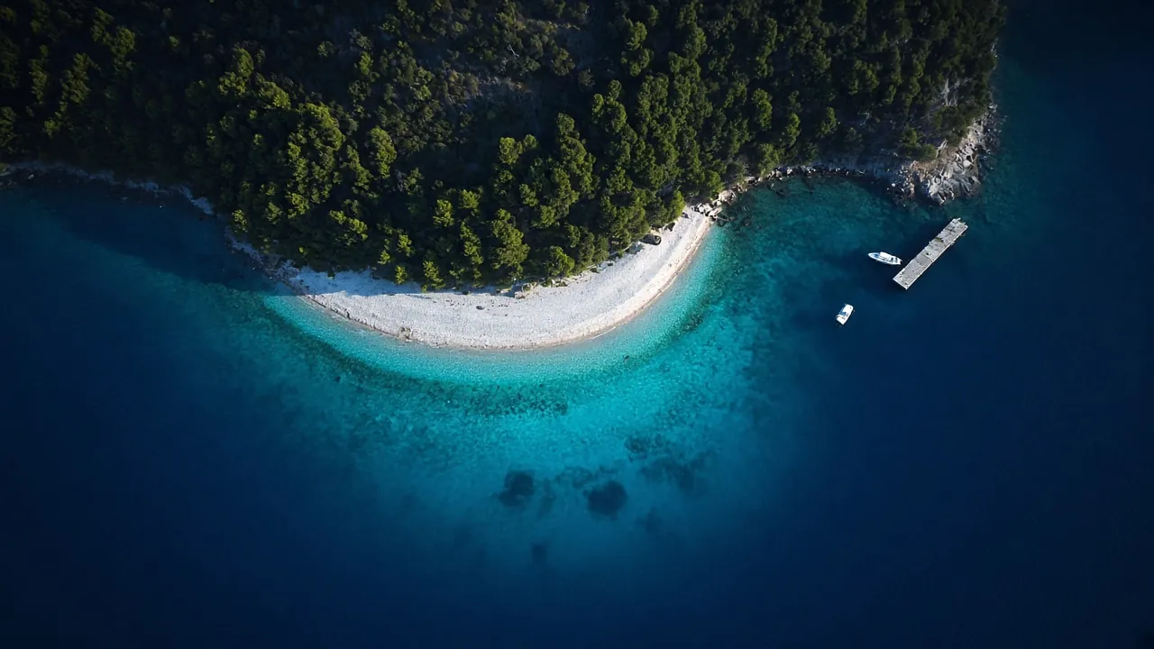
Professional drone photography and video for real estate, tourist properties, campsites, construction sites and events – with a focus on image quality and safely planned flights in line with drone regulations.
DJI
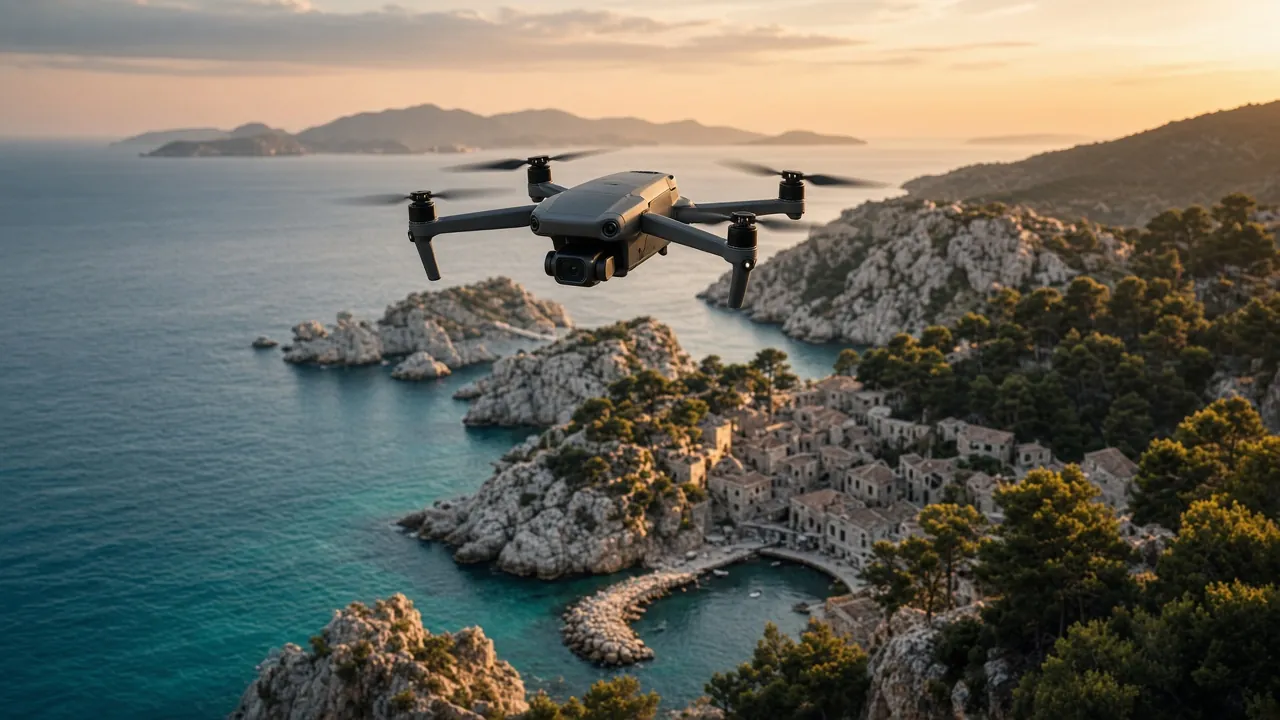
Drones for surveying and filming
Planned photogrammetry flights for orthophotos, terrain and 3D models – plus aerial photo and video.
Equipment images are illustrative.
Gallery
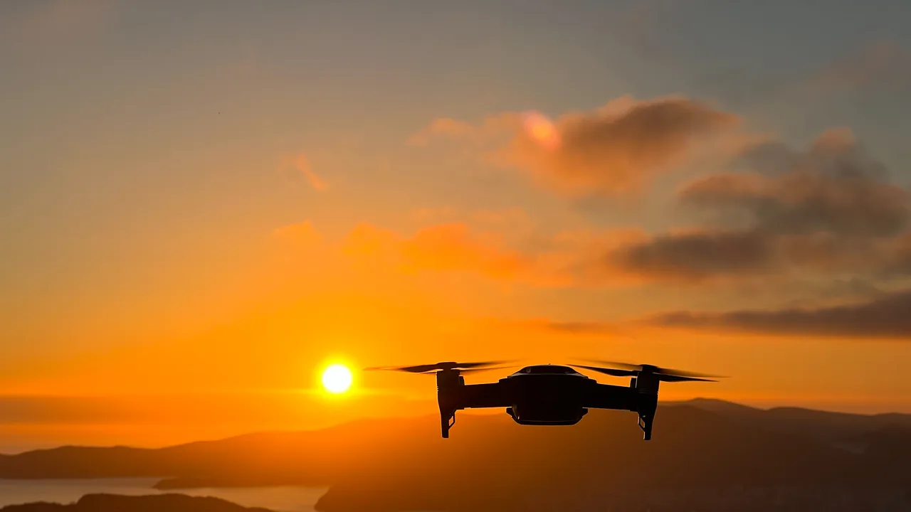 Illustration
 Illustration
 Illustration
Got a space that needs measuring?
Send us the location and a short description – we will tell you what is needed, which method suits best and when we can be on site.