3D laser scanner · TLS
Every detail.
From the station.
Terrestrial laser scanning with a Stonex X300 for façades, cultural heritage, halls, bridges and other structures where geometric accuracy is decisive.
How it works
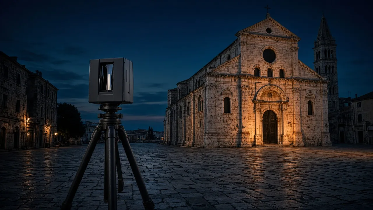
360° around the tripod. Station by station.
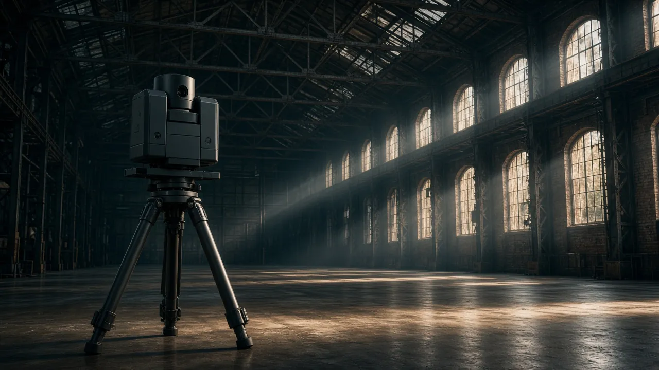
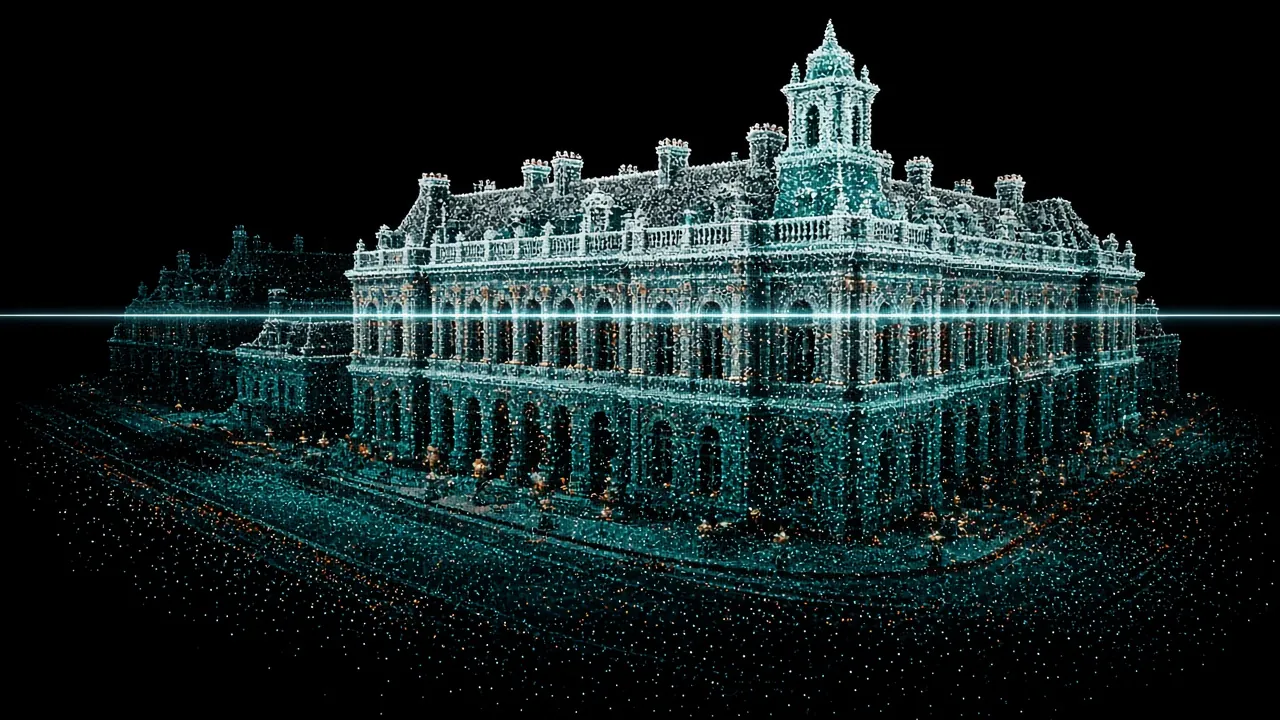
The scanner sits on a tripod and rotates to measure everything around it – a 360° horizontal and 90° vertical field of view with a range of up to 300 m. Scans from several stations are registered into a single point cloud and placed in the official HTRS96/TM coordinate system using control points measured with a GNSS receiver.
 Illustration
SLAM or TLS?
The right method for every space.
Terrestrial scanner
When accuracy and detail density matter most: façades, heritage, structures, deformation checks.
Handheld SLAM scanner
When speed and coverage matter most: whole buildings, staircases, attics, gardens and terrain.
Combined
On most projects we combine both methods and the drone – each where it performs best.
What you get
Geometry without compromise.
Point cloud
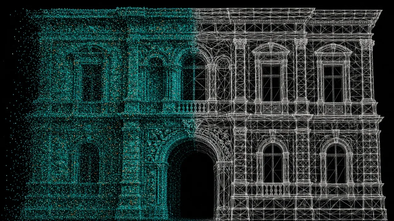
Registered, georeferenced point cloud (E57, LAS/LAZ) with photographic colour.
Elevations & sections
As-built elevations, sections and plans in DWG/DXF.
3D mesh
Mesh and textured models for restoration, visualisation and BIM.
Checks & comparison
Comparison with design or earlier scans – deviations and deformations.
Heritage
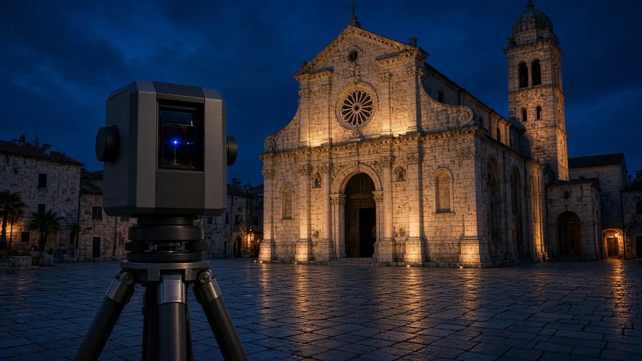
Contact-free, lasting documentation of churches, towers, walls and historic buildings.
Stonex X300
Terrestrial 3D laser scanner
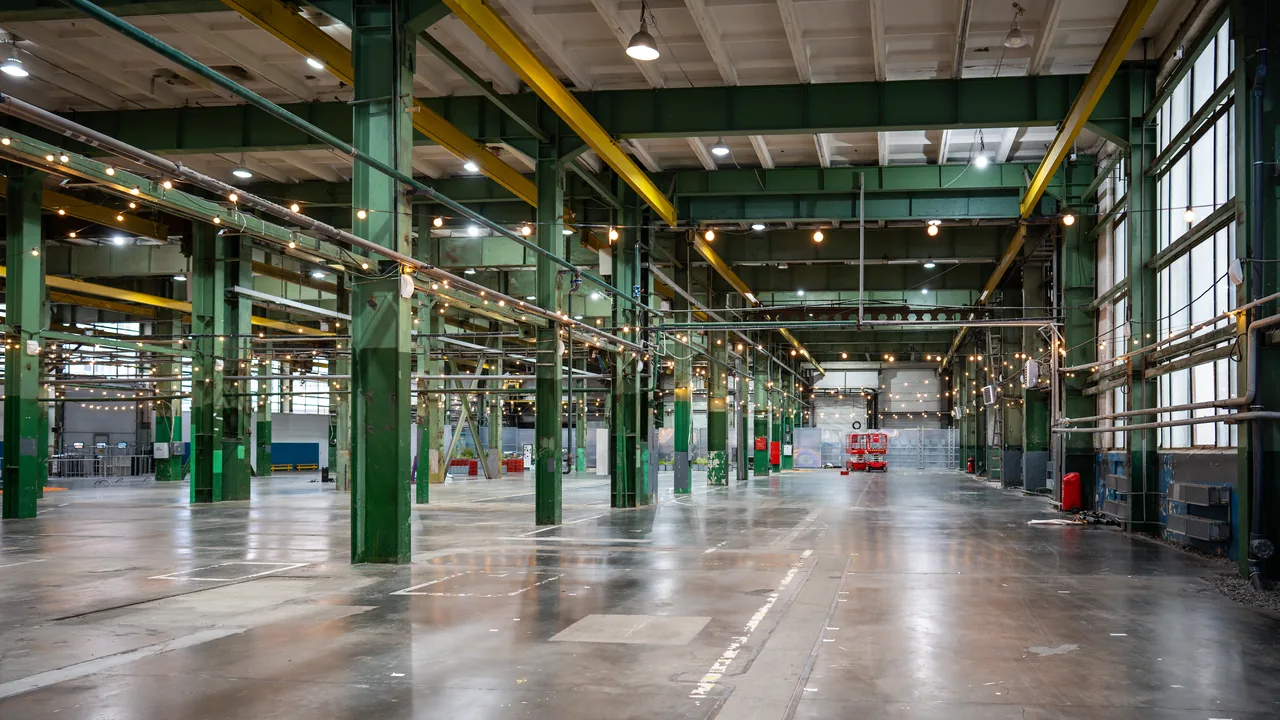
Scanning from tripod stations: 360° × 90° field of view, range up to 300 m. For façades, heritage, halls and engineering structures.
Equipment images are illustrative.
Gallery
 Illustration
 Illustration
 Illustration
 Illustration
Got a space that needs measuring?
Send us the location and a short description – we will tell you what is needed, which method suits best and when we can be on site.